We only do maps
We do not coordinate operations, dispatch volunteers or hold any operational role. We make the map — your organisation runs the search.
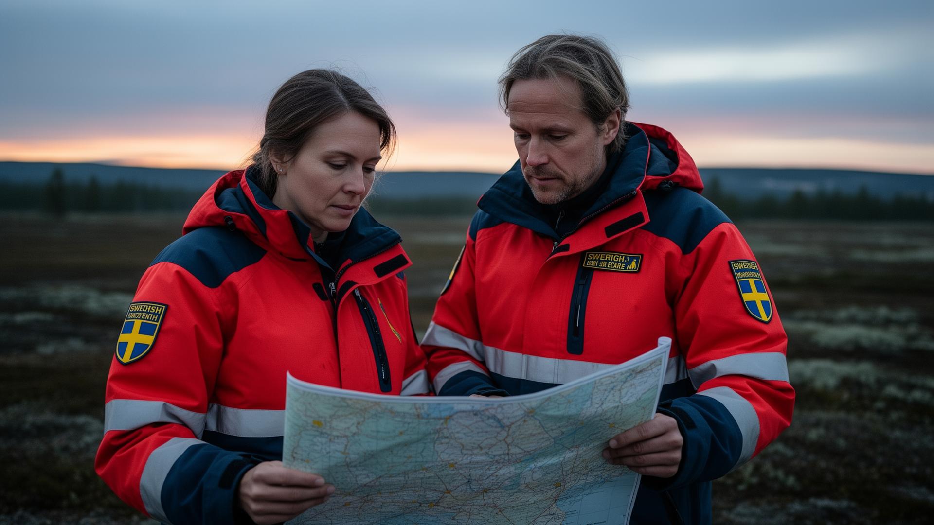
Searchgrid.app makes one thing, and makes it well: printable search-area maps for the organisations that actually run the operation. Draw an area, divide it into cells, assign teams and export a PDF.
Not an emergency service. In an emergency, always call 112.
A focused planning tool that turns a drawn area into a structured, team-allocated, printable search grid.
We do not run searches, dispatch responders or take any operational role. We are a tool — used by the organisations that do.
The whole tool is built around a single workflow. No accounts, no dashboards, no noise.
Sketch the search area directly on satellite imagery — rectangles, polygons or combinations.
Split the area into evenly sized cells at the resolution that fits your operation.
Distribute the cells across teams automatically, with clear colour coding per team.
Get a printable plan with an overview map and one detail page per cell — ready for the field.
The planner is built for use by search-and-rescue organisations, volunteer groups and authorities. We do not take part in the search itself — our only job is to make the map clear and the print useful.
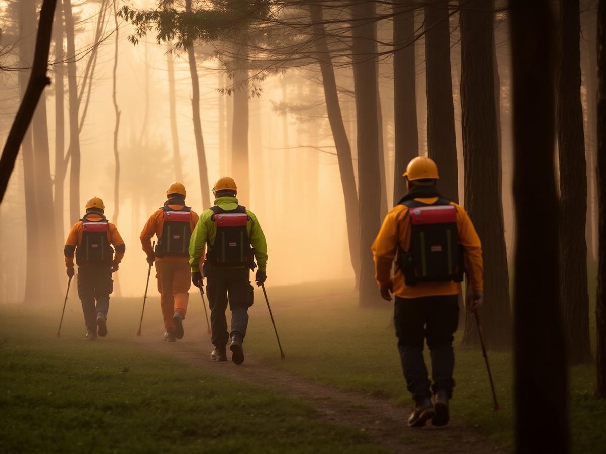
We do not coordinate operations, dispatch volunteers or hold any operational role. We make the map — your organisation runs the search.
Calm visuals, readable labels, generous spacing. The plan has to work on paper, in the rain, at four in the morning.
Areas and grids you draw are processed locally in your browser. We have no accounts, no tracking of operations and no central store.
We are not an emergency service and we cannot help with an ongoing operation. For questions about the map tool itself, feature requests or bug reports, get in touch.